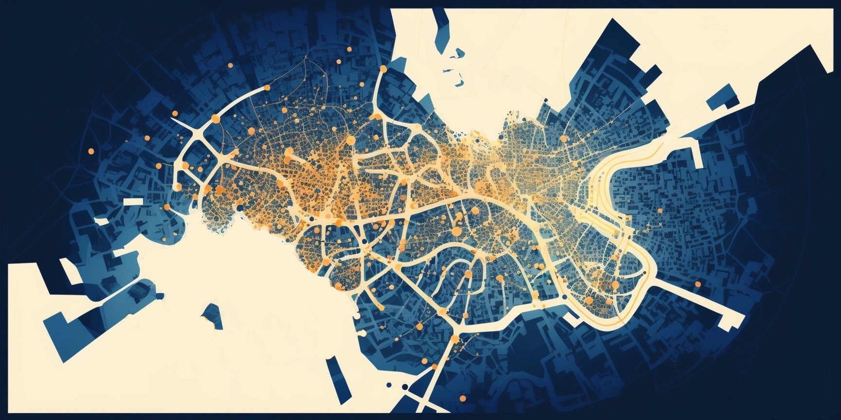
A point of interest is a geo point with a high frequency of people visiting.
Examples of points of interests:
- Sights
- Stores, gas stations
- Beaches
- Museums
- etc
For solving some problems such as creating touristic routes information about points of people’s interests is needed. My friends architects asked me to help them to search the points of people’s interest near Sevastopol. This information was needed to find places where public spaces might need to be developed and improved.
First, I started to think about possible sources of data. I wrote a list of them:
- Cell phone data (geo position of cell phones): a lot of people spend a lot of time in the same point. However, this type of data is almost impossible to get from cell operators.
- Reviews on the internet about places: it’s difficult for analysis because it requires natural language analysis. It’s really difficult to understand about which places some authors have written.
- Photos with geotags: they are simple for analysis and simpler to collect than to get data about cell phones positions.
I decided to use vk.com (the most popular social network in Russia) to collect data about photos. I have read documentation of API of vk.com, written a Python script for data collection and visualization.

One of my results
Using social network data was a great idea! It allowed me to consider the data in different slices. For example, it was possible to separate points of interest for men/women, adults/teenagers and so on.

Map of photos of different genders
I think that the older generation is not actively using social networks, so if we need to analyze the points of interest for the older generation, we will probably experience a lack of data. We will need to look for another source of data about places that older generation like to visit.
Conclusion
I developed a way to find places in a city that are most interesting for people. This approach allows you to separate the data by gender and age, which allows for more in-depth analysis. Finally, architects identified areas for public space development through my visualization.
